 Registry Survey Office plate · Lumaweald
Lumaweald
The canopy remembers
A flooded silver forest where old logging roads, conservation patrols, family settlements, and native fenborn ranges overlap.
 UsghuiYz
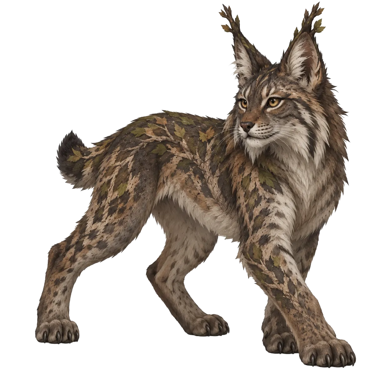
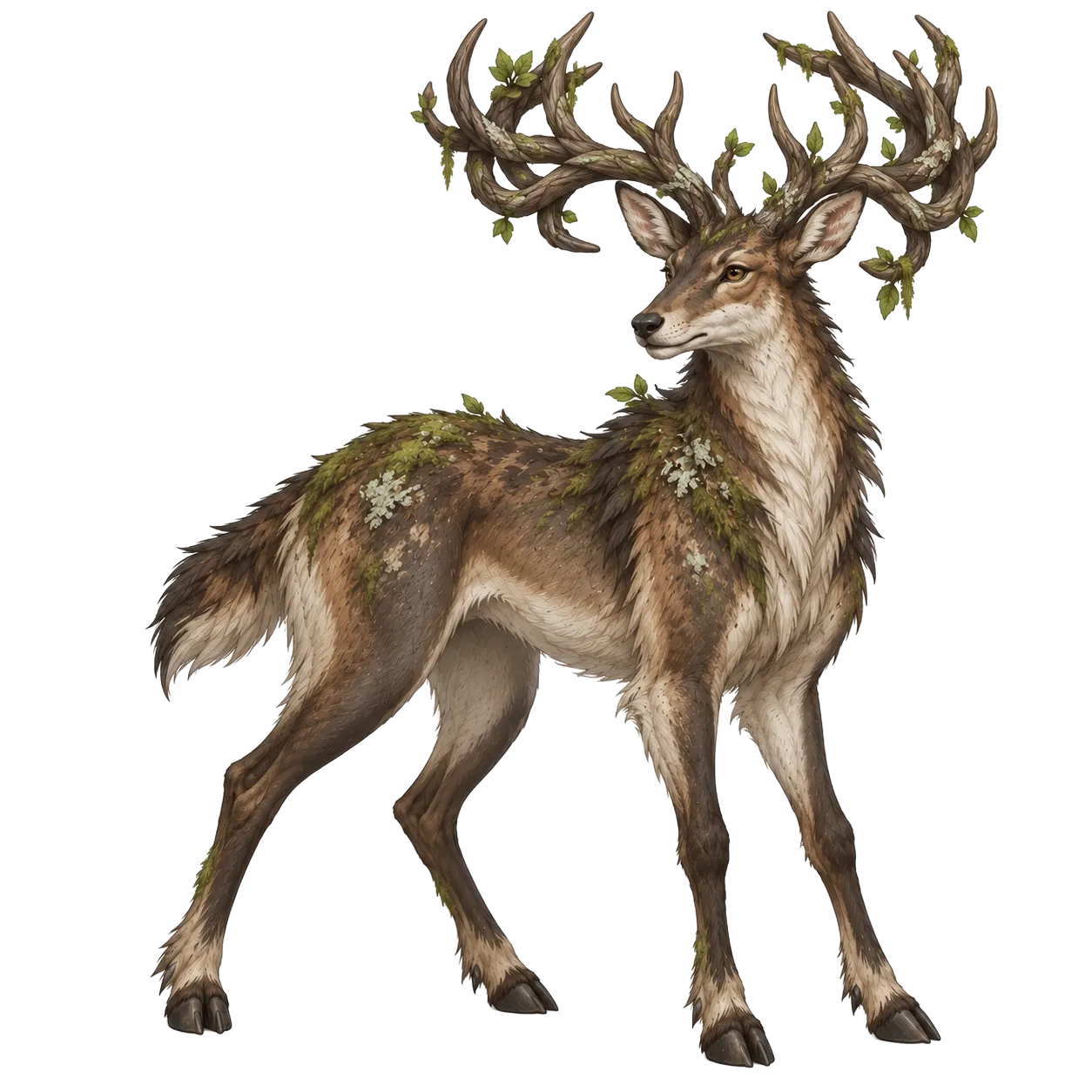
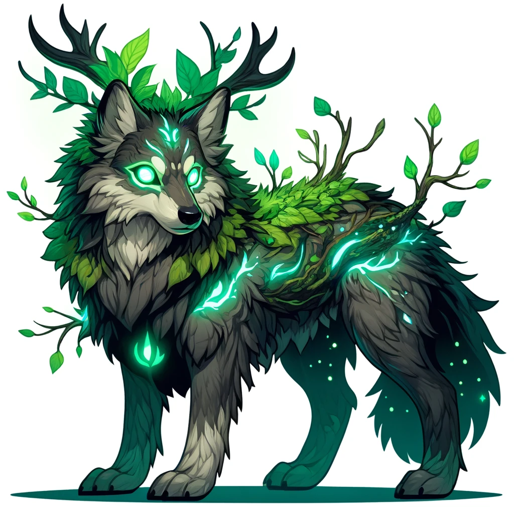
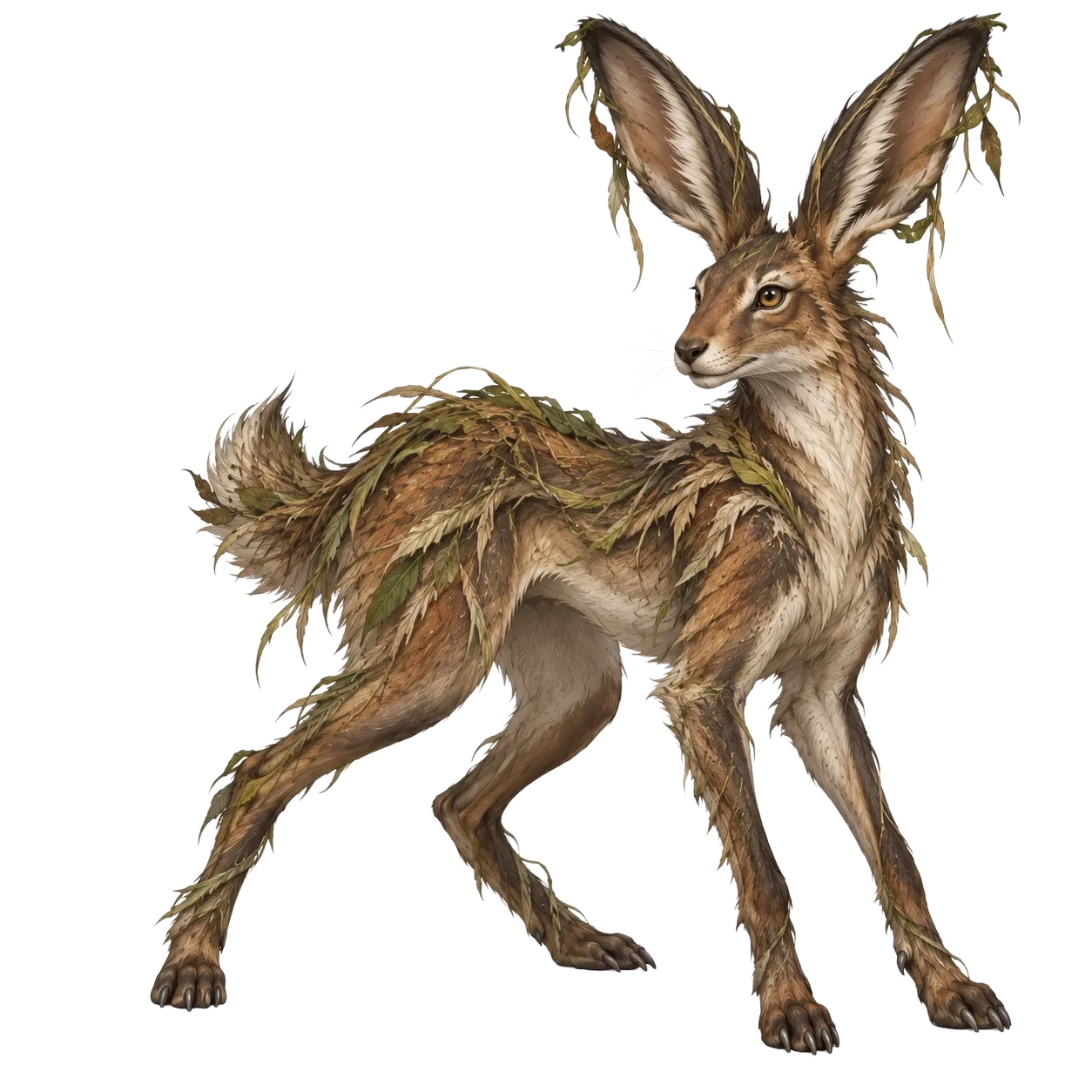
Native species
Species currently entered with Lumaweald as their native regional range.



Survey abstract
Lumaweald is easiest to enter by following water and hardest to understand by following a map. Root paths move with flood level, luminous growth changes the apparent distance between trees, and local directions often begin with sounds rather than landmarks.
The silver canopy
Luminous moss and pale bark reflect enough moonlight that newcomers routinely underestimate how dark the forest becomes beyond the main paths. Lumendoe are associated with safe crossings; SylvanHowl are more often heard where territory has been cut or disturbed.
Conservation and livelihood
Reedwarden patrols protect breeding range and damaged habitat. Moonreed families still depend on timber, medicines, and freight from the same forest. Arguments about what protection costs are older than most current patrol posts.
Hollow Mile
An abandoned extraction road now carries rescuers, smugglers, collectors, and local families avoiding Registry tolls. It is one of several places in the Weald where the same muddy track can mean very different things depending on who is waiting at the other end.