The Fens Basin Map
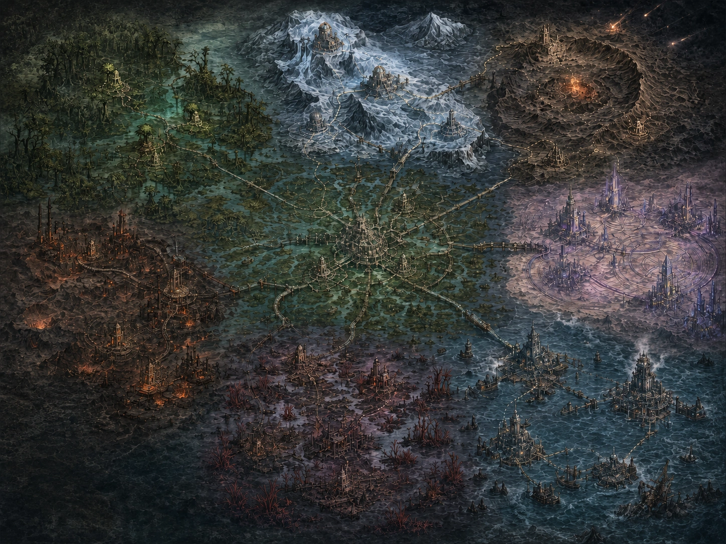
Eight principal regions, the established crossings between them, and the public Gazetteer entries kept with the current atlas.
Basin crossings
Select a region to inspect its Gazetteer note and established crossings.
Mirecross
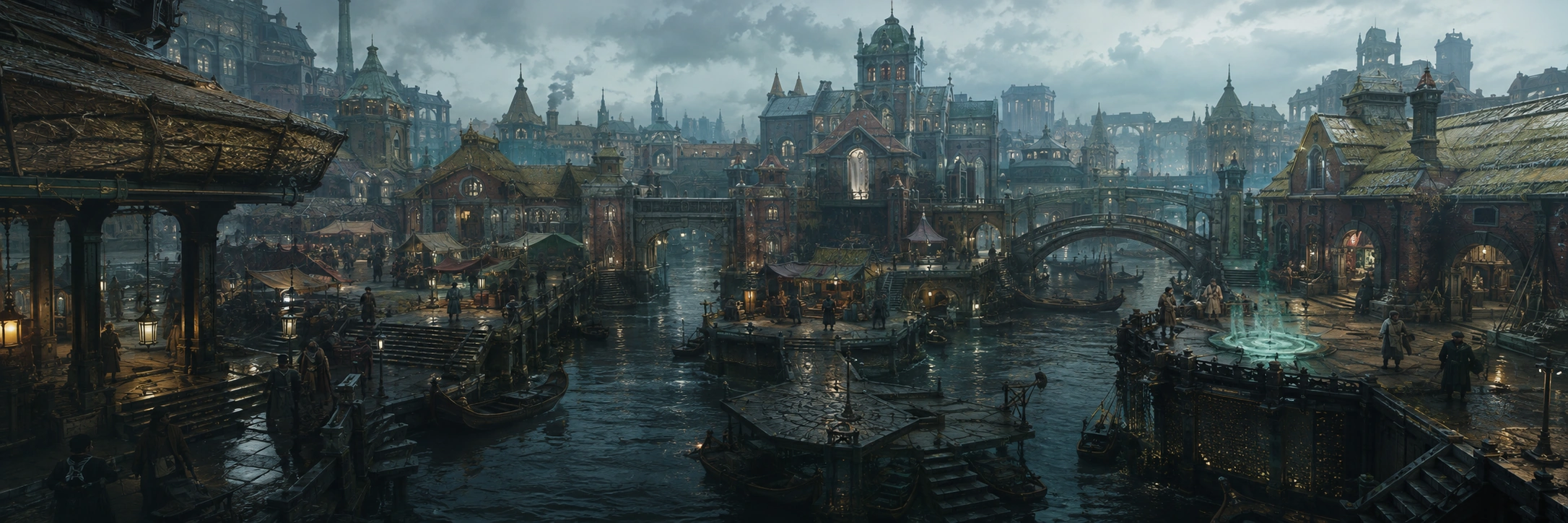
Where every road beginsThe rain-dark canal city where the oldest surviving causeways meet and most basin-wide institutions keep a public desk.
Regional entries
Survey plates are retained with each regional abstract so the written record and the place it describes do not drift apart.
Mirecross
Where every road beginsThe neutral canal city, public sanctuary, Registry seat, and starting home of every Keeper.
Open Gazetteer entry →
Lumaweald
The canopy remembersA silver forest of flooded roots, conservation posts, and the native range of two founding species.
Open Gazetteer entry →
Kilnward
Built in furnace lightIndustrial wards, worker halls, rail-skiffs, and the heart of crafting and equipment progression.
Open Gazetteer entry →
Brinewake Coast
Go where the weather allowsStorm-cut harbors, courier lanes, salvage fields, and the fastest routes around the flooded basin.
Open Gazetteer entry →
Vitravale
A desert sharp enough to singTranslucent dunes, compass storms, relic markets, and Gravity-locked vaults beneath fused streets.
Open Gazetteer entry →
The Pale Hours
The bells are never quite on timeIce observatories, recovery houses, and the basin’s most difficult schools of medicine and time.
Open Gazetteer entry →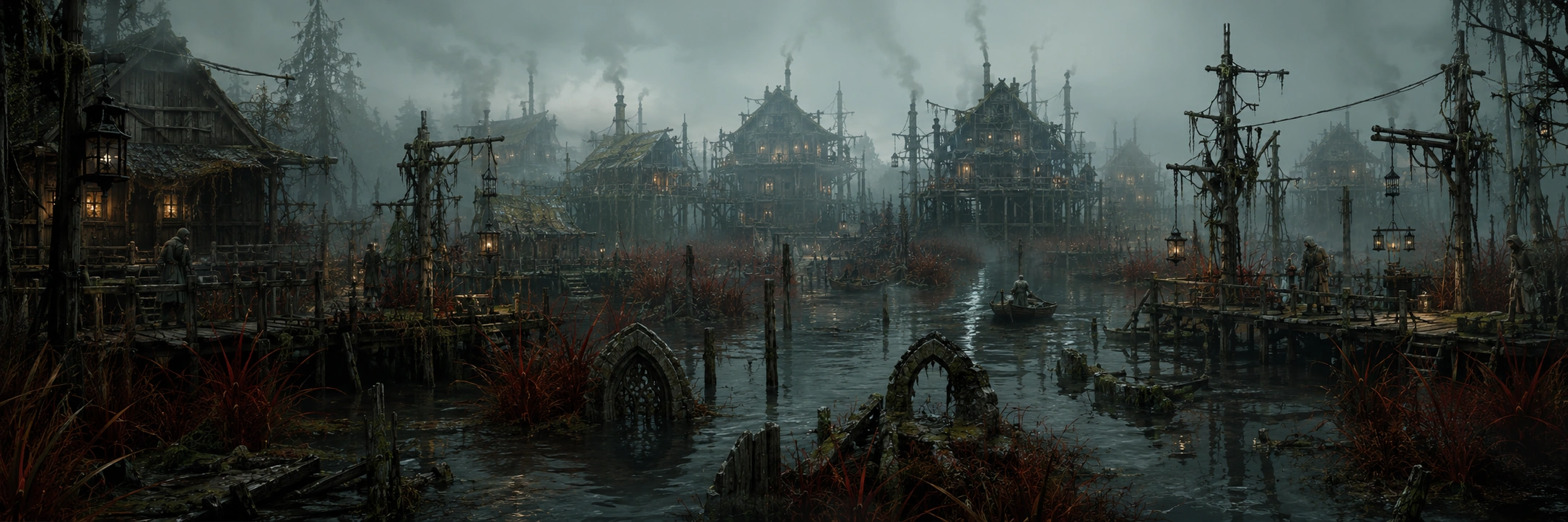
Gloamfen
Not every road belongs on a mapDrowned settlements, dangerous medicine, isolated communities, and the routes beneath official travel.
Open Gazetteer entry →
Starfall Crown
The wound that looks backA shifting crater frontier for Circle camps, cooperative research, and the oldest mystery in the Fens.
Open Gazetteer entry →An atlas line is not a departure notice.
Crossings shown above are established routes in the Survey Office record. Current departures, closures, fares, weather holds, and travel time belong to the wayhouse route board.